Following a previous introductory post, about my 11-day trekking tour on the Himalayas in Nepal, I have also prepared four more posts regarding the program, the places and the altitude, for each day individually. Those 11 unforgettable days, full of beautiful moments, amazing landscapes and hard times have offered me the most thrilling experience of my life.
As I have already mentioned, the tour I had booked was organized by the local Nepalese agency Footprintadventure, with guests from all over the world. The price included for the 11 days on the Himalayas: the domestic flight to/from Lukla, accommodation in double room, in local teahouses with shared toilets, 3 meals per day, local guides, Sherpas porters, as well as 2 nights at a hotel in the capital Kathmandu, and a city tour. The equipment and any further expenses during the tour would be paid by us, on the spot.
Upon my arrival in Kathmandu, I met one of my guides and proceeded to the hotel, where I would stay for the next 2 nights. That day I would visit the temples and the city center on my own, while the next day, I would meet the whole group for a guided city tour, in order to get to know each other and organize the trip. Therefore, 13 strangers from different countries turned to a gang with a common goal, what else, the successful ascent to the Everest Base Camp. One night prior our departure for the flight to Lukla, we visited also a shop with mountaineering equipment, in order to buy/rent what was missing from each one of us.
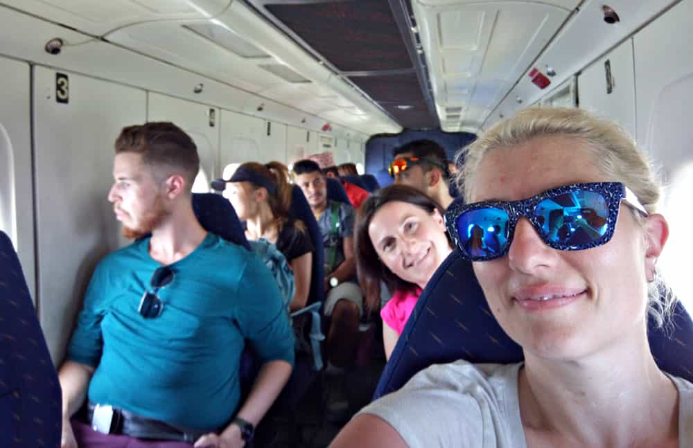
On our flight to Lukla
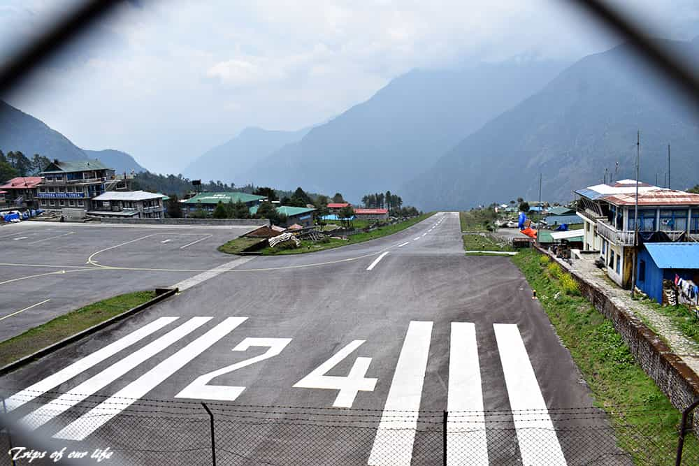
Lukla is considered to be the most dangerous airport in the world
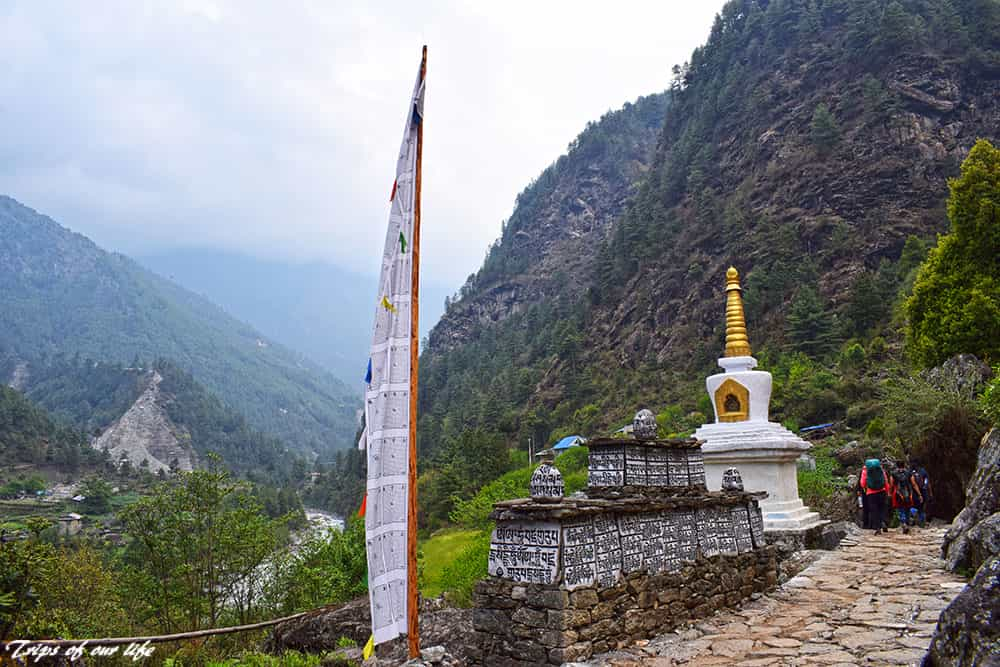
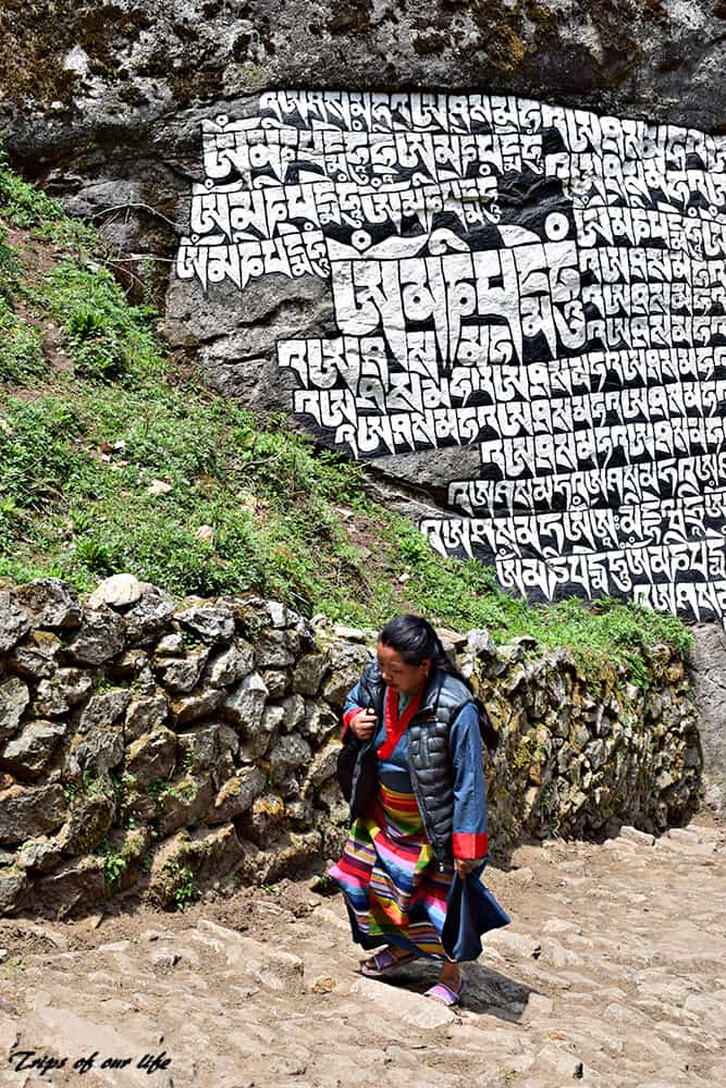
Prayer flags, small stupas and prayer stones are placed everywhere on the Himalayas
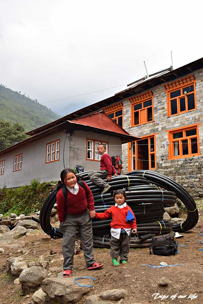
Day 1
Flight to Lukla (2,804 m) and trekking to Phakding (2,610 m) – 9 km, 3 1/2 hrs.
Our flight would normally take off from Kathmandu International Airport, but just a few days ago, the locals decided to stop the flights to Lukla, in order to extend the runway. Therefore, we had to depart very early in the morning, to travel by bus to another airport and then, take the first flight to Lukla. After 3 hours of a hard ride through mountains, we arrived at the village of Ramechhap at 1619 m.
However, due to strong winds, all flights had been already postponed until further notice. As we had no other option, we had to wait at that small airport, where there was nothing but a runway and a small outdoor café. Actually, there are often issues with the flights to Lukla: they can be cancelled for days, as strong winds prevent small planes from landing on the one and only tiny runway. While this airport is surrounded by mountains on one side and ends up on a cliff, it is considered to be the “most dangerous airport in the world”. Having experienced many fatal accidents in the past, nothing serious has occurred in the recent years, thankfully.
Luckily, after a few hours we were allowed to fly, so we finally boarded the small 20-seater propeller plane, which practically only fit our group.
Just after our boarding, the flight attendant offered some candies and we took off to fly over the impressive Himalayan peaks. The atmosphere was relatively clean and we enjoyed the journey with minimal turbulence. In just 20 minutes we finally landed at the world’s most dangerous airport, although honestly, I didn’t feel any insecurity at all.
Under normal circumstances we would have had some free time to explore Lukla, but as our flight had already been delayed, we only had time for lunch at a local restaurant in the village. The Sherpas porters had already loaded our stuff and we were all ready for our hike to Phakding, the first village of our tour we would stay in. Τhe porters are usually responsible to carry the luggage of the climbers to their final destination, unless someone wants to carry everything on his own backpack. We had already placed our stuff in special backpacks, which the Sherpas carry on their backs, leaving our suitcases at the hotel in Kathmandu. In addition, everyone can carry his own backpack, as well. I was carrying my own one, with my medicine, extra clothes, water and various other personal items.
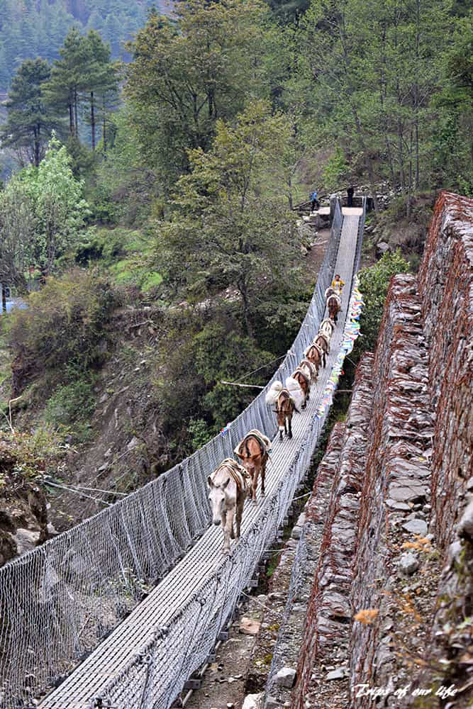
The hike of the first day was quite easy, and the altitude had not yet begun to affect us. While descending towards the Dudh Kosi River, and passing the village of Chaunrikharka (2,713 m) and Ghat (2,550 m), the route offered us beautiful images of hillsides decorated with Buddhist monasteries, colorful prayer flags and many suspension bridges. We arrived at Phakding just before sunset, and after enjoying our dinner at the local teahouse, we went to bed early, as the next day’s trekking would be very demanding.
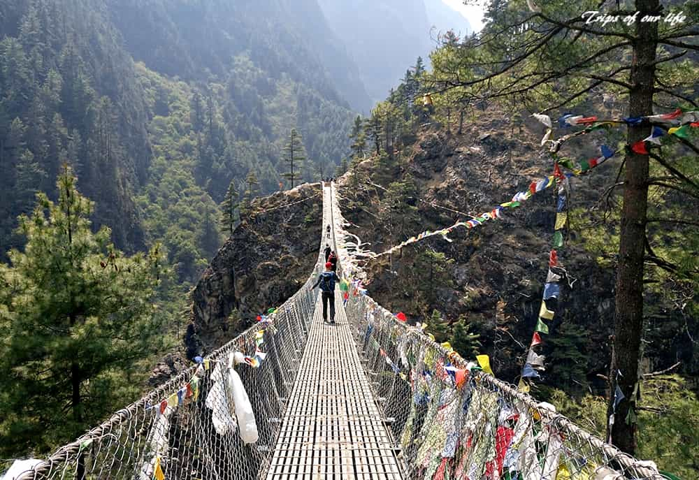
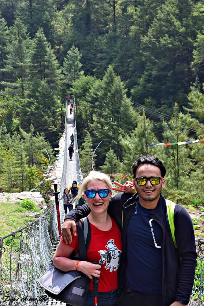
Crossing the legendary Hillary suspension bridge, the longest one on the Nepali HImalayas
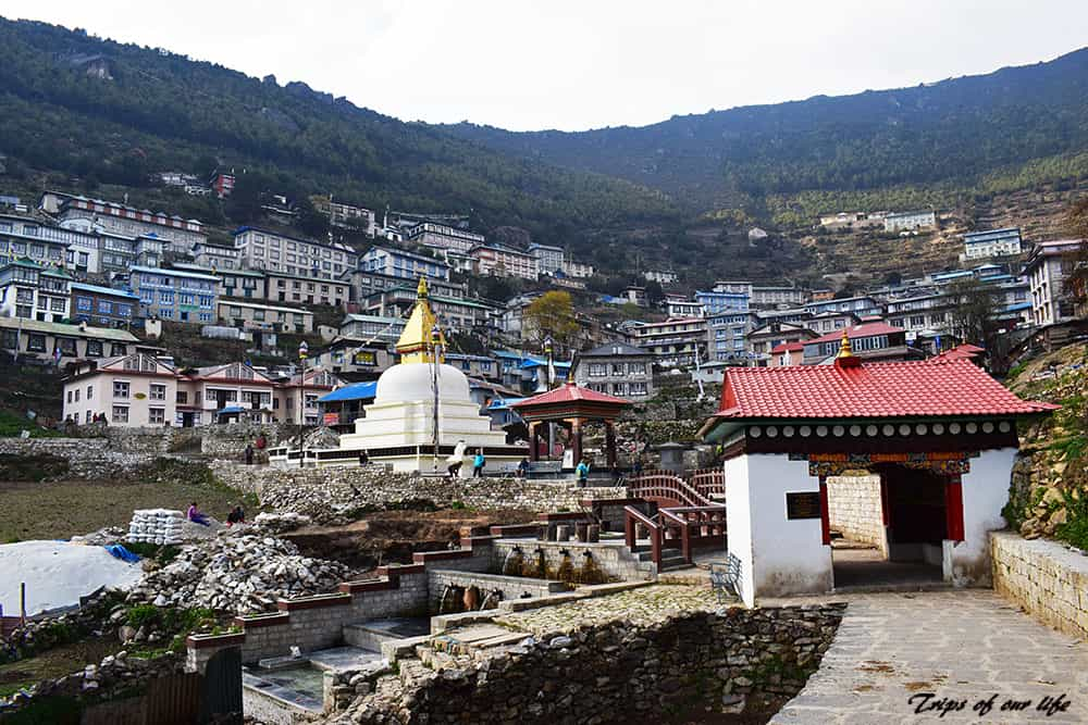
Namche Bazaar, the gateway to the Himalayas (3.440m.)
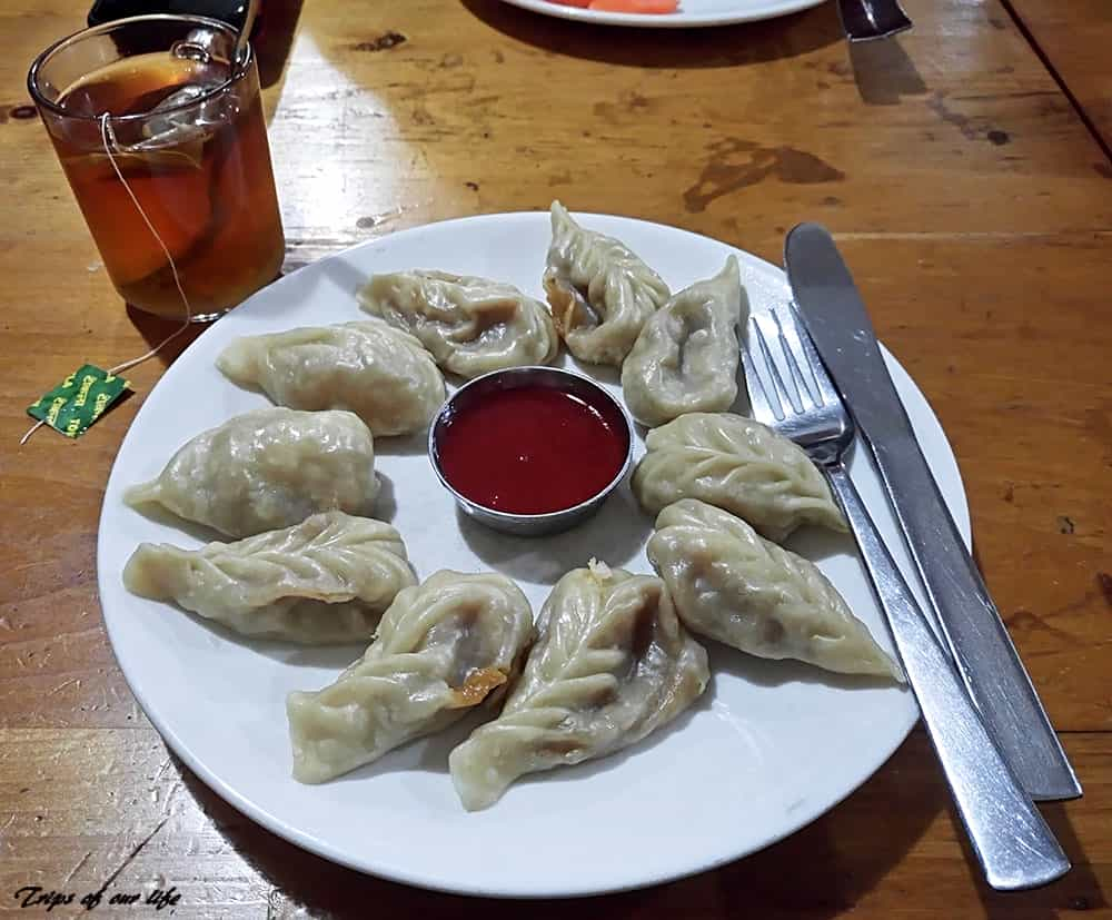
The Himalayan super food: traditional momos and hot ginger lemon tea
Day 2
Hiking to Namche Bazaar (3,441 m) – 12 km, 8 hrs.
Our daily morning awakening was around 06.00-07.00hrs., while we departed at around 08.00-08.30hrs. It was hard, but we had time to enjoy our meal and also arrive at our destination before sunset. The second day was very difficult in terms of hiking. Following the Dudh Koshi River we crossed lots of the famous suspension bridges of the Himalayas, decorated with colorful prayer flags.
The most impressive of all was the Hillary bridge, the longest (344m) of the Nepalese Himalayas, at 135m. height over the river. Passing by the stunning landscapes of Sagamartha National Park, we arrived late in the afternoon in Namche Bazaar, the largest village of our tour. Also known as the “Gateway to Everest”, the village of Sherpas, the local Himalayan tribe, is nestled amphitheatrically in a wide gorge with stunning views to the surrounding peaks.
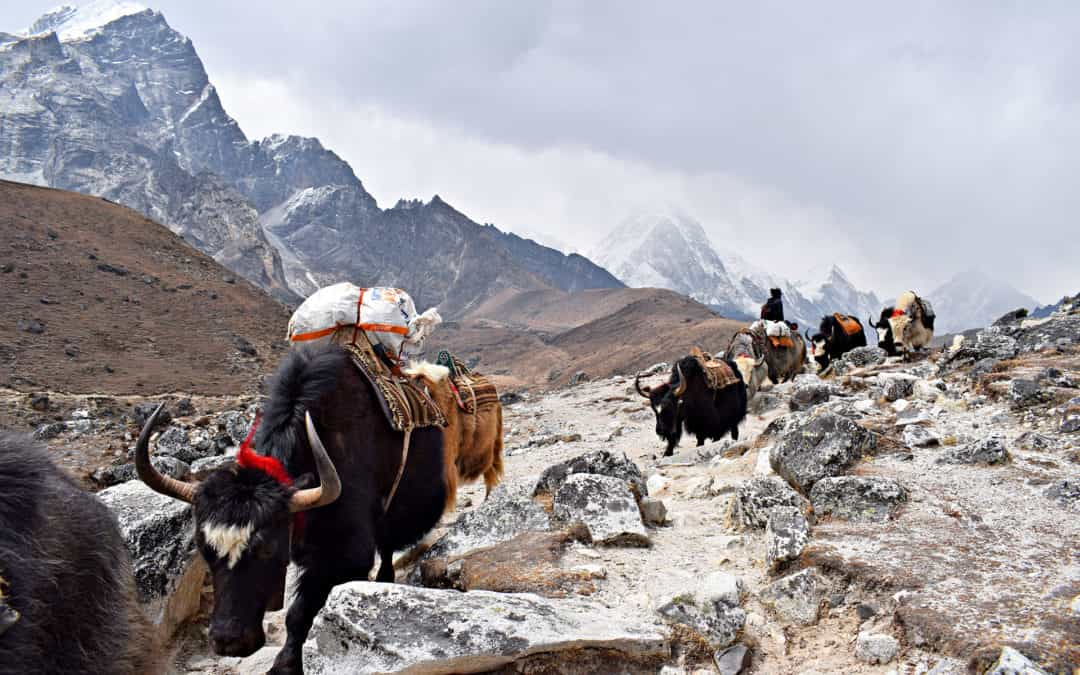
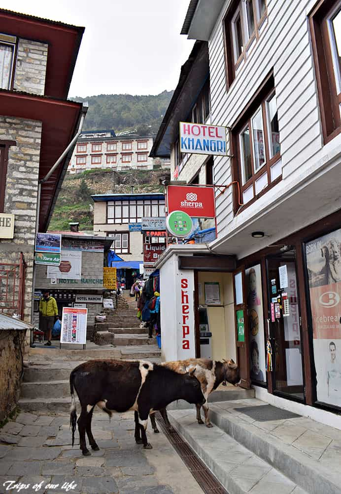
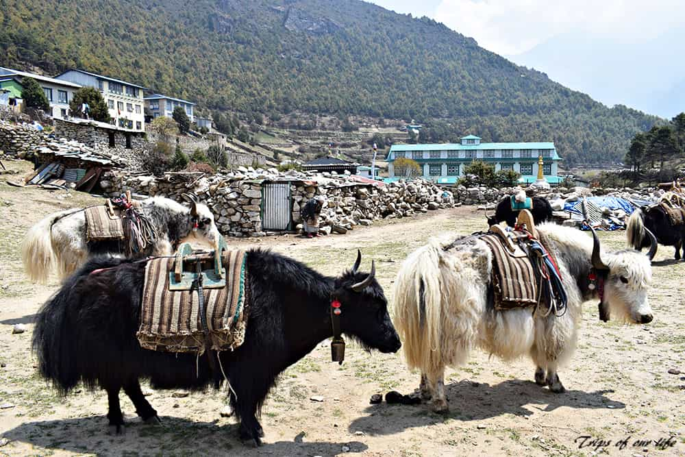
The place is quite touristy. There are many teahouses, hostels, restaurants, banks and shops with all kinds of equipment and souvenirs, as it is a mandatory station for the trekkers’ gradual acclimatization at the high altitude. However, it was the most beautiful village for me, of all we visited on the mountains, and I fully enjoyed my strolls around the narrow alleys together with the beautiful yaks. It’s really very funny because the yaks, the Himalayan cattle, roam free everywhere on the suspension bridges, in the villages, the alleys and the house yards. But it’s not funny at all if you find yourself on their way and you don’t step aside. They run over you, they strike you, and they don’t stop! And I can tell from my own personal experience!
The village gets quite at night, as everyone returns early at their guesthouses to have a rest and wake up early in the next morning. In any case, I didn’t skip an evening walk after dinner in the empty alleys, although I returned relatively early to spend the rest of the evening with my fellow travelers.
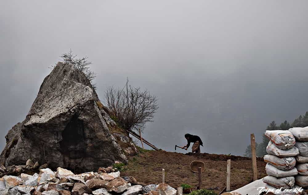
Foggy Namche Bazaar
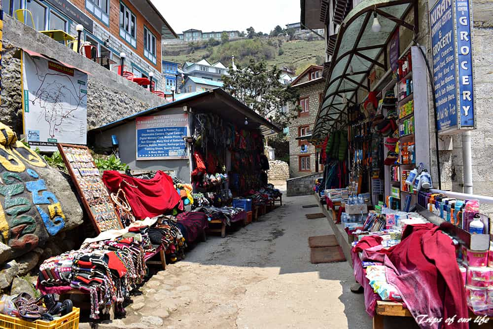
The local market
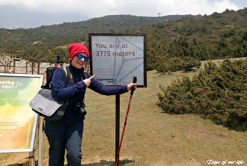
Acclimatization spot
Day 3
Namche Bazaar (3,441 m) – acclimatization day at 3775m.
During the third day, we did nearly nothing but helping our body acclimatize smoothly to the increase of the altitude.
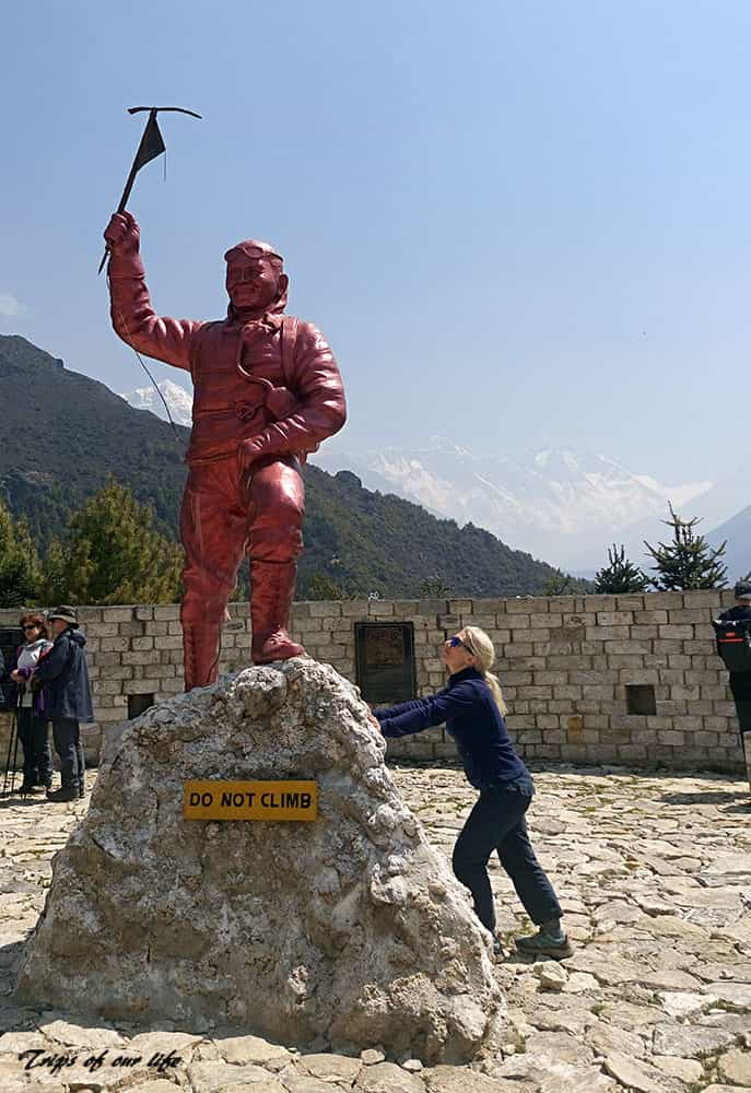
After our breakfast, we visited the museum of the village, which is dedicated to the life of Sherpas, the local Himalayan tribe. Later, we took pictures of the statue of Tenzing Norgay and the summit of Mount Everest at the background. Tezning was the first Sherpa climber to conquer the top of the world together with Edmund Hillary, on May 29, 1953 and he is considered one of the most important people in the world. We also hiked up to 3,775m., as a preparation for the next day’s trekking and continued our walk around Namche Bazaar.
After our dinner we had our last bath, since for the next 8 days, we could not have access to showers and running water.
The statue of Sherpa Tenzing, the first Sherpa known to reach the summit of Mt.Everest
Yaks roam free in the village as everywhere around the mountains
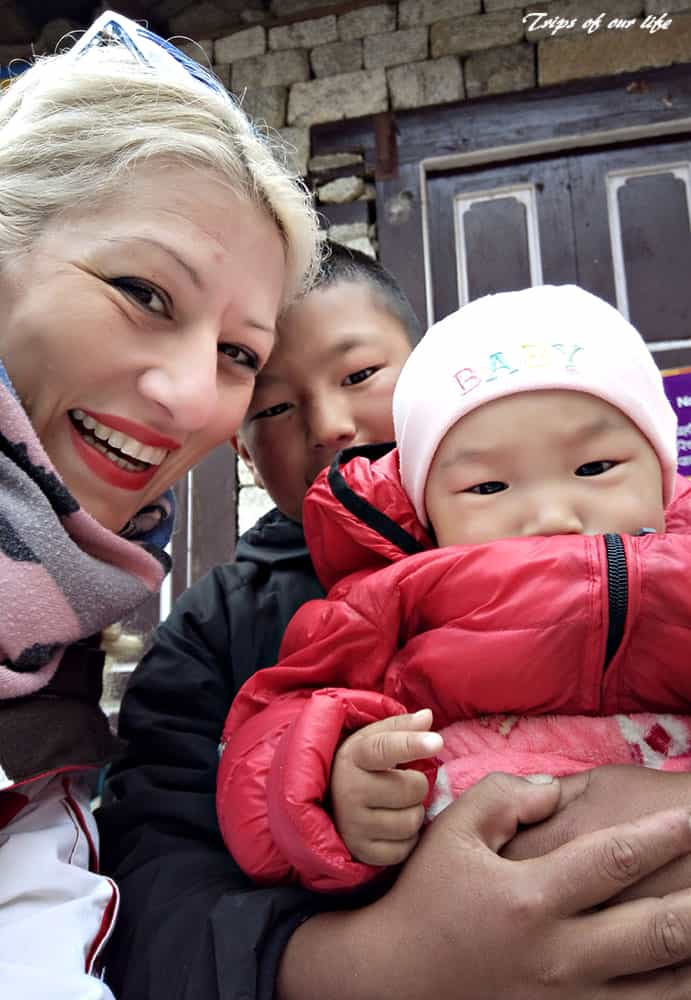
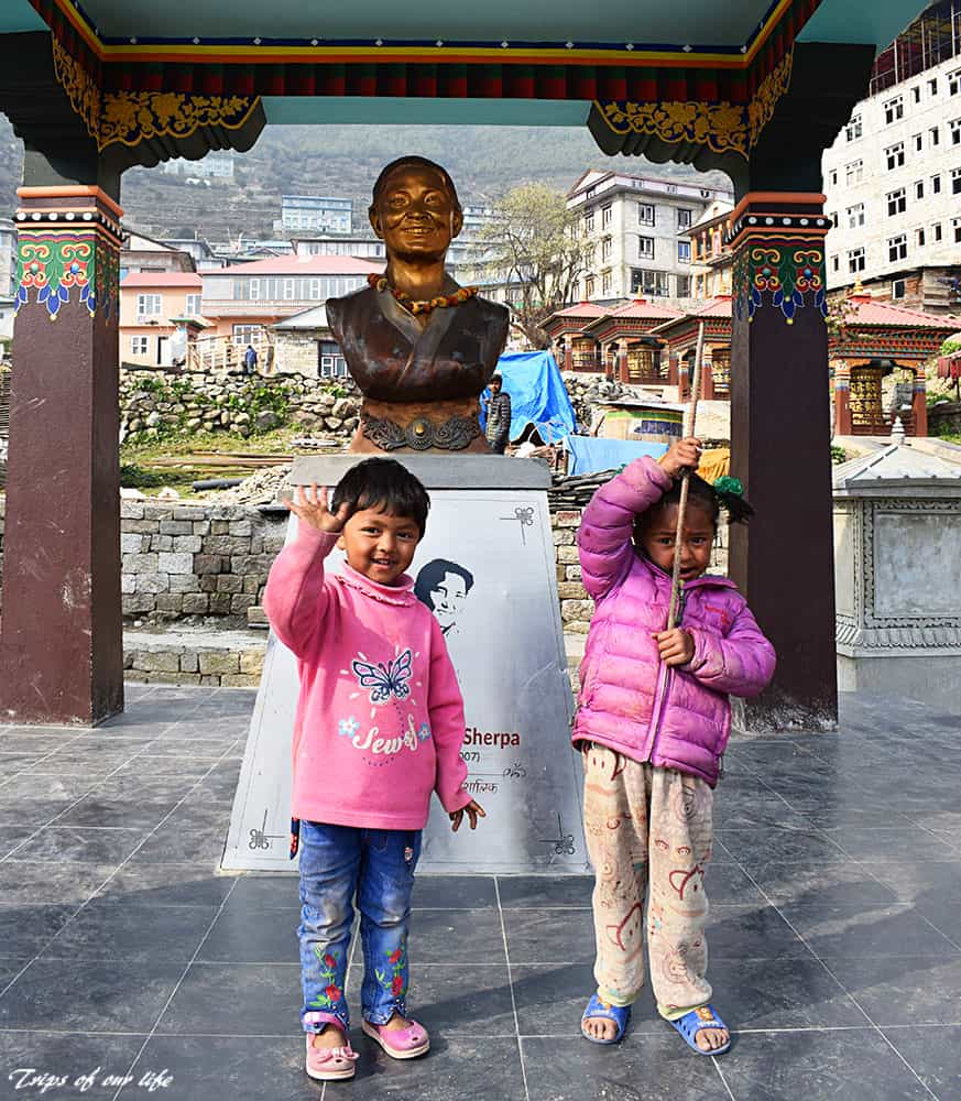
Cute local kids, most of them are shy to tourists although Namche is very touristy

